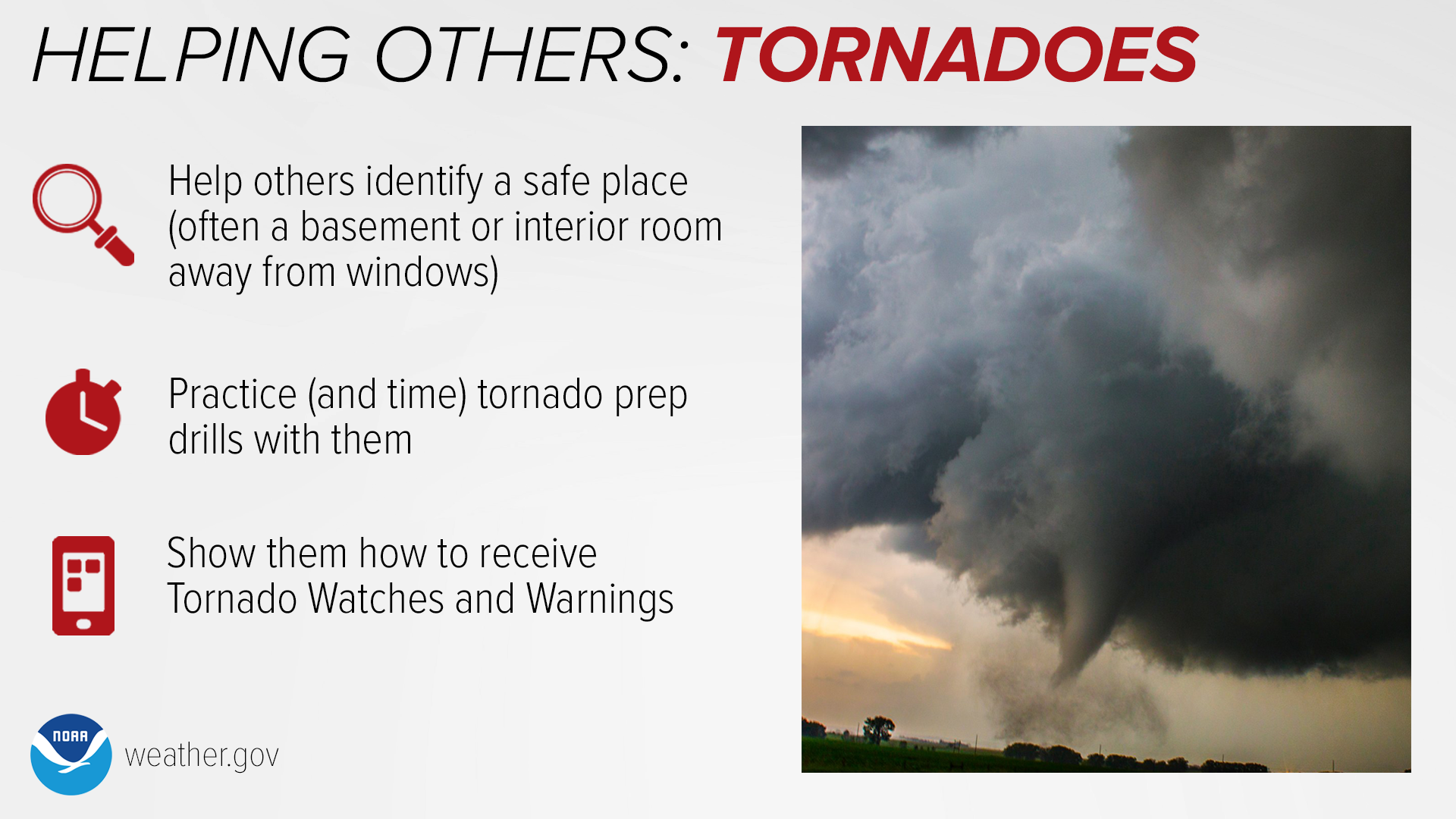
The timing of what looks to be a substantial severe weather day is quite similar to a big event 12 years ago this weekend, the April 14, 2012 tornado outbreak that saw tornadoes across several areas of central Kansas and Oklahoma. I’m still doing a deep dive on models and other data from that date to see if the setups are actually close. But let’s focus for now on what we know about the upcoming threat as of five days ahead…

SPC Outlook
[T]he northern extent of mid 60s surface dew points should reach into most of OK east of the dryline by Monday afternoon. Late afternoon thunderstorm initiation along the dryline appears probable in the eastern TX Panhandle/western north TX to western OK vicinity, within a kinematic and thermodynamic profile favorable for strong supercells. Convective development will blossom both south and especially north extent during the evening across the central and southern Great Plains.
Storm Prediction Center Day 4-8 Outlook, discussion for day 5, issued 2024-04-11
NWS Wichita Discussion
As we move into early next week, a vigorous mid/upper trough is forecast to move into the Rockies late on Monday. The latest deterministic models and ensemble guidance continue to support an environment capable of a significant severe event across the Great Plains.
Wichita NWS Area Forecast Discussion, 2024-04-11 (morning)
In the member-only section I’ll do a little deeper dive, showing model forecasts of the humidity and upper-level dynamics as well as a couple of fairly ominous-looking forecast soundings from that evening. You’ll be seeing more safety-related information from us over the next few days, too. We believe this event will be one to pay attention to across much of Kansas, but especially southern parts of the state. Here is one model’s forecast radar presentation through the life of the system in Kansas:

Safety Message


