After a busy evening which saw 70mph-plus wind and tornadoes in much of the region, today’s focus for severe weather shifts northwest, into the plains of Colorado and the Nebraska panhandle.
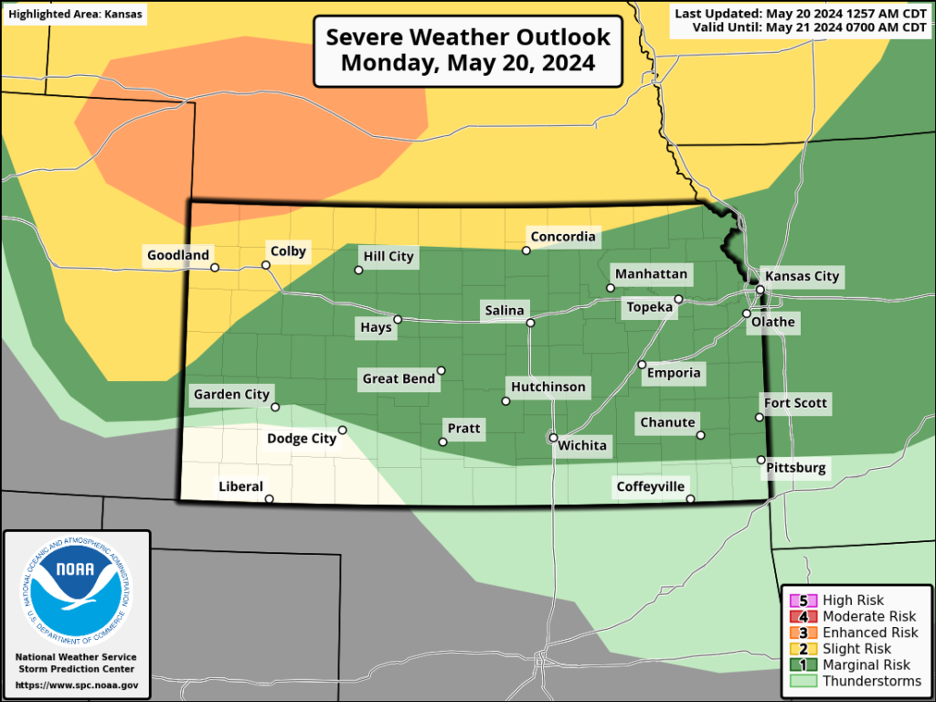
That said, for much of today, a rogue shower or storm isn’t out of the question. If a remnant boundary currently in north central Oklahoma can make it back into Kansas, a severe storm or two could be seen south of Highway 50 with all risks possible. The main system moves out tomorrow, bringing severe storm chances east of I-135. A day off from storm action Wednesday, then chances for showers and some thunder from Thursday through the Memorial Day weekend.