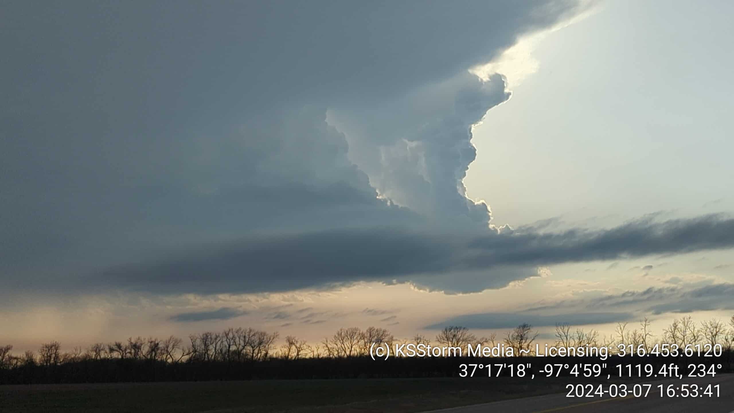
Today was always planned to be a short chase, as I knew it would be late afternoon before anything fired, and I was time-constrained by a CERT/BuCART meeting and the annual Storm Fury on the Plains NWS presentation in Augusta at 6:30. So I was limited to not getting east of Highway 77. Of course, last night’s warnings and tornadoes did occur east of there, in the Caney vicinity for the most part. I know Taylor Wright did make it that far east, and I think Mikey Gribble may have as well. Otherwise, the reports I saw came from Tulsa-based chasers.
Not bad for March! East of Caney, KS currently @kwch_stormteam @KWCHPeyton pic.twitter.com/WLgAAWmmU4
— Taylor Wright (@taylorwrightwx) March 8, 2024
I left home around 3, headed south toward Wellington. Clearing had developed just south of the warm front, east of Wellington a bit. Some storms were starting to generate heavy rain and small hail. Heading east on Highway 160, I was behind the first storm of the day, which passed between me and Oxford. I went on east to Winfield, and sat north of town on an overlook off Highway 77. As we neared 5pm, the next storm came across the state line and started creeping toward Oxford, so I drifted west to get a view.
The early part of the evening was a time for great structure. These photos were taken from a few miles northeast of Oxford (tap or click to enlarge):


 Contrast this with the photo of the next storm in the system, from west of Strother Field, a few miles outside Geuda Springs:
 Already, we were starting to get grungy. In fact, I called off the chase about 15 minutes later, and if it weren’t for having experienced a few small hailstones as I came into Winfield, I’d have made it to my meeting on time. But I decided to re-start the stream and have something for the 6pm news, which ended up not working.
I left the meeting early, as we had an interesting area in the storm-relative velocity radar passing north of us, through the Towanda area. Even though it was an all-wrong presentation, a grungy line of storms with no real organization, there had developed what looked like a bounded weak echo region. That can be a sign of a strong updraft, precursor to tornado, kind of situation. But we never saw anything but pea-size hail covering the road west of El Dorado. After sitting at the Haverhill Road exit on Highway 400 for a while and shooting this video, I called it “for real and true,” as I told the TV folks, and headed for home. All in all a strong start to the season!
 ### 07 Mar Stats
Miles Road Time Reports Warnings
Tornadoes Severe Wind Severe Hail
2024 Stats
Miles Road Time Reports Warnings
Tornadoes Severe Wind Severe Hail
175 5:18 3 0
0 0 0
175 5:18 3 0
0 0 0
